Just after World War II, when there are plenty of airplanes sitting around doing nothing in particular, archaeologists started using aerial photography to map and explore wide swaths of the ancient and medieval landscapes.
Well, both photography and air travel have improved a lot since World War II, and aerial surveys are used all the time for many purposes. Archaeologists are still part of this process. As a result things we never even suspected are being discovered all the time.
Do you know that Angkor Wat is hardly unique to medieval Cambodia? Well, nobody else did either. But now we see there are traces of cities as big as modern cities. And that is saying something because cities of the last two generations are huge on historic standards.
There are some really interesting maps, plans, and pictures of this work in the Guardian.
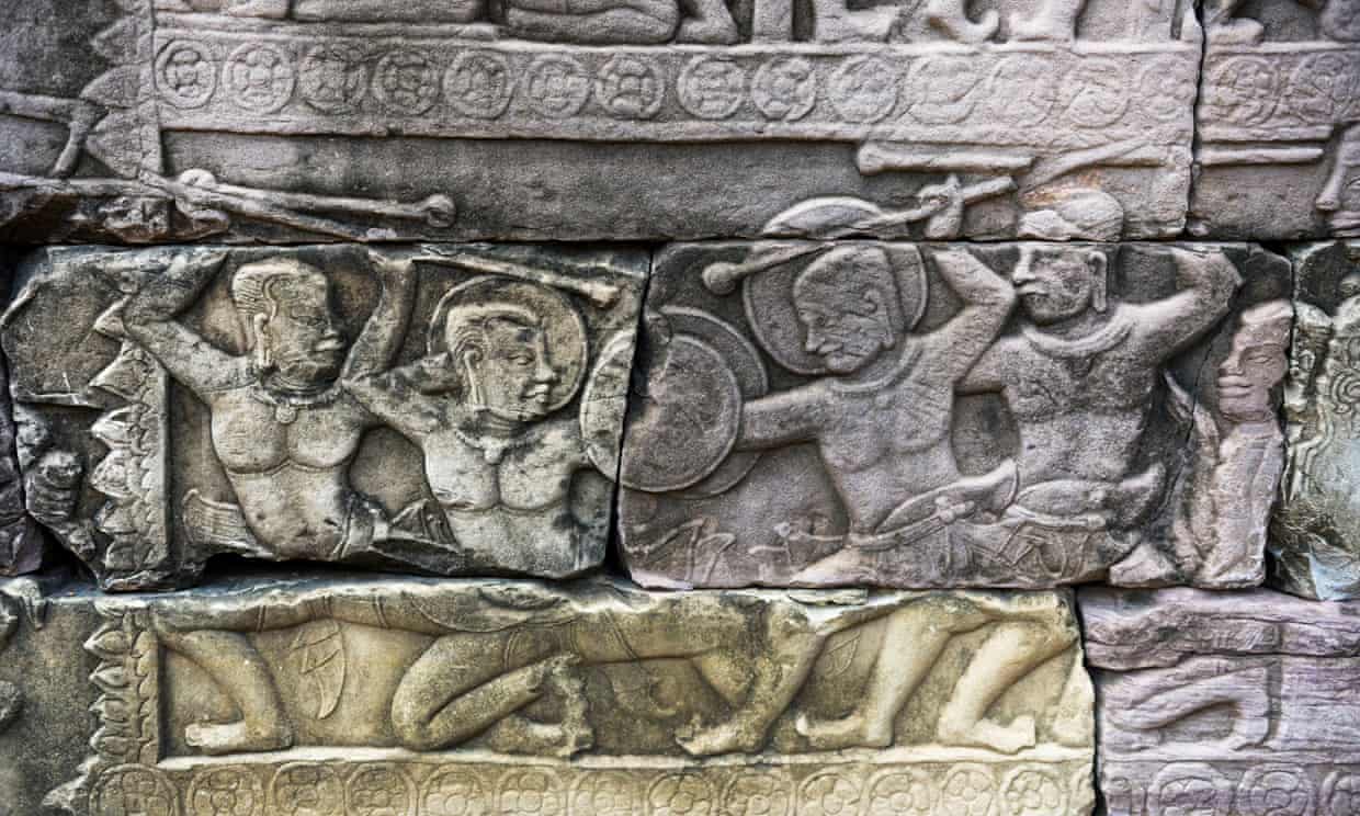
Image: A twelfth-century deed of arms in Cambodia. How would William Marshal do against these guys? Hint: armor.

No comments:
Post a Comment